Geospatial Artificial Intelligence (GeoAI) for Automating Observations in Agriculture and Supporting Rapidly Make Informed Decisions
Lower Costs and Maximize Yield
Enhance Sustainability, Profitability, and Competitiveness
AI-Driven Innovation for Streamlined Crop Insurance Assessment
Our mission is to develop AI-driven solutions that transform crop insurance assessment by automating tasks that are beyond human capability—whether they are too dangerous, repetitive, time-consuming, unpleasant, or too complex to perform with consistent accuracy.
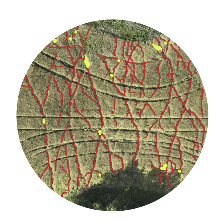
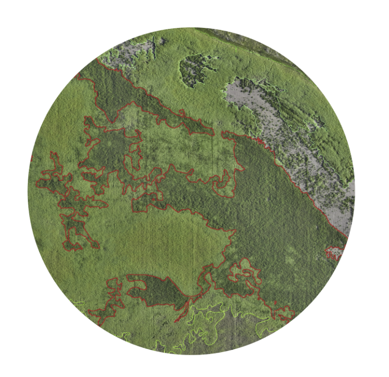
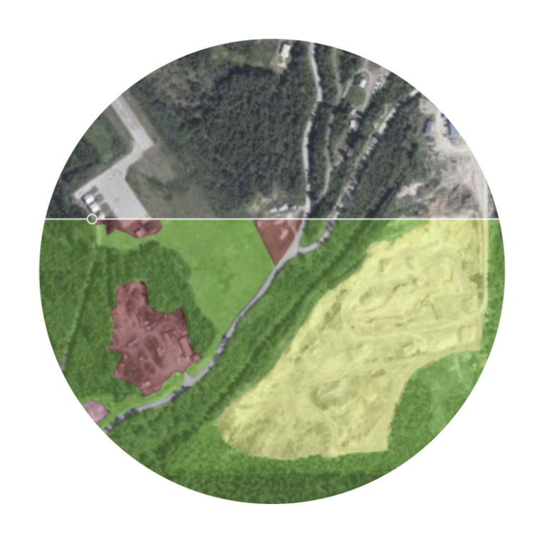
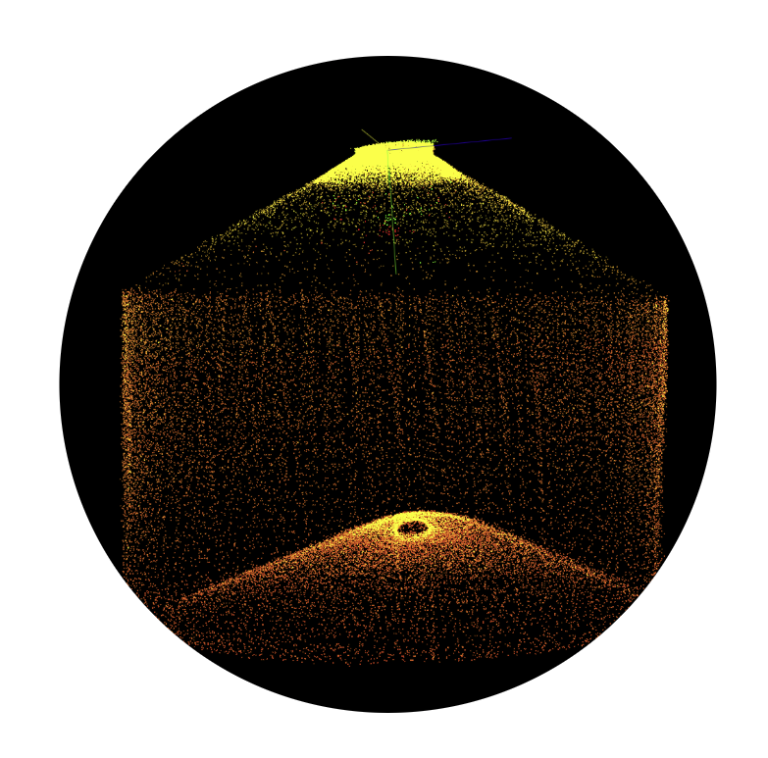
SGA’s AI-Driven Innovation for Streamlined Crop Insurance Assessment offers six key features:(1) Wildlife Damage Assessment; (2) Crop Yield Loss Assessment; (3) Field Boundary Detection & Analysis; (4) 3D Grain Bin Volume Measurement; (5) Grain Grading; and (6) Hail Damage Assessment.