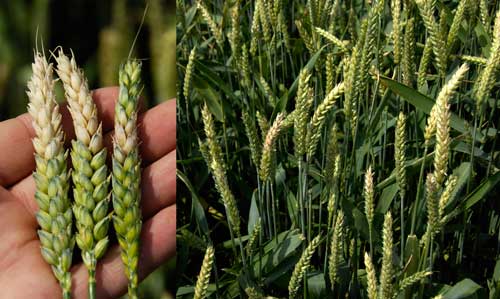
Fusarium Head Blight (FHB) significantly reduces both yield and quality, making it the most destructive disease affecting Canadian wheat. Early detection of FHB relies on manual crop assessments and FHB risk maps. However, current provincial government online FHB risk maps only consider environmental factors and may not accurately reflect conditions in individual farmers’ fields. In warm weather, growth stages where fungicides can be effectively applied last only a day or two, making accuracy vital.
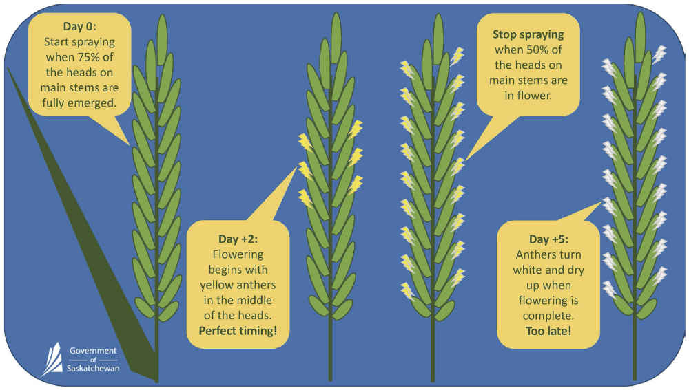
Wheat producers face two primary challenges in fungicide application: accurately forecasting average crop yield in a field to determine whether applying fungicide will result in an economic benefit for wheat producers, and accurately estimating the average growth stage across the entire field to determine the optimal application timing for maximum efficacy. Current practices rely on laborious manual observations at various locations around a field, with almost daily intervals as the application window approaches. These manual, subjective tasks are time-consuming and often do not accurately represent the field as a whole.
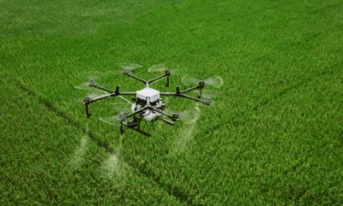
SGA's GeoAI-Driven Drone Applications guide producers on whether, where, and when to apply fungicides
SGA’s GeoAI-driven applications can automate and digitize these manual observation processes to guide wheat producers on whether, where, and when to apply fungicides for Fusarium Head Blight (FHB) control.
Protect Your Crops and Increase Yield While Saving 90% Fungicide and Pesticide Costs.
Monitor Crop Fields and Detect High-Risk Spot in Real-time
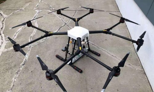
Drone Mg-1
GeoAI-Driven Drone Knows When and Where to Spray Pesticide
Need Help With Easier Industrial Solutions? We Are Experts!